Basics
The GIS Viewer allows you to view information about wells, pipelines, surveys, LPG/CNG/LNG sites, and related features in a map view.
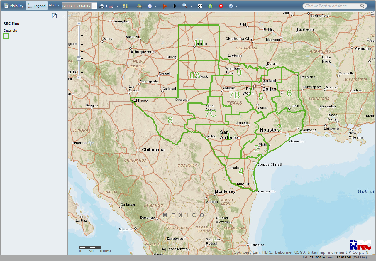
The default view when you open the GIS Viewer is a state map with the Oil/Gas Districts layer visible. The Oil/Gas Districts layer displays the Railroad Commission's Oil and Gas Division district boundaries and numbers in green. You can view additional layers, such as AED districts, by customizing the visibility.
TIP: For the best viewing results, see the Browser Recommendations below.

Mozilla Firefox 73.0+ and Google Chrome 80.0+ are recommended for the best viewing results.
Internet Explorer 11.0 and below are not recommended.
JavaScript must be enabled.
Pop-up blocking in your browser must be disabled.
TIP: To verify that pop-up blocking is disabled on your computer, use our Pop-up Blocker Test.